 |
Secret Canyon, 2003 |
Click on any image to enlarge.
January, 2003
The red rock country around Sedona, Arizona is renowned for the majestic splendor of its towering red buttes, magnificent scenery, and cool waters of nearby Oak Creek. After enjoying a spectacular hike on Bear Mountain a year ago, we decided to visit the red rock country again for another hike. This time, instead of choosing a mountain to summit, we decided on a 7-mile loop through Secret Canyon and Bear Sign Canyon, connected by the recently constructed David Miller Trail. Having not been there before and not really knowing what to expect, we set off to explore these trails.
Our hike consisted of a loop starting on the Secret Canyon trail to the David Miller Trail., then on the David Miller trail over a saddle to the Bear Sign Canyon trail. We would then follow Bear Sign Canyon back to our vehicle. The loop is closed by a short walk along Vultee Arch Road. We elected to do the road walk first, so we drove to and parked at the Bear Sign Canyon trailhead, where we would eventually end our day. A 1 mile walk back along Vultee Arch Road brought us to the Secret Canyon trailhead and the start of trail walking.
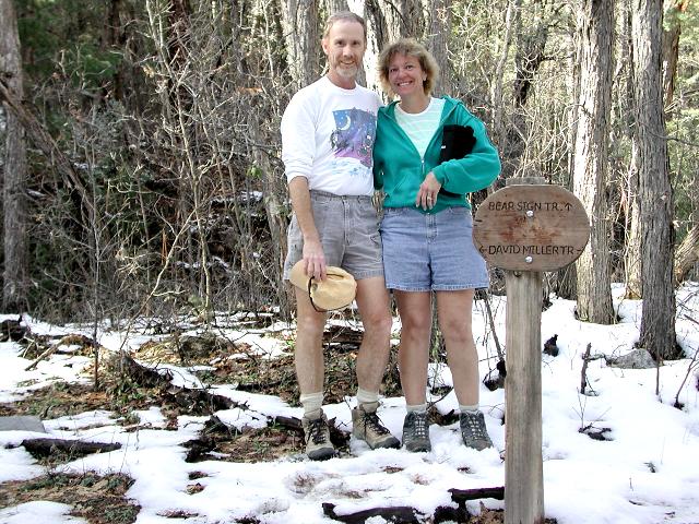
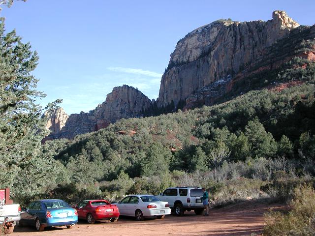 Bear Sign trailhead |
 Vultee Arch Road |
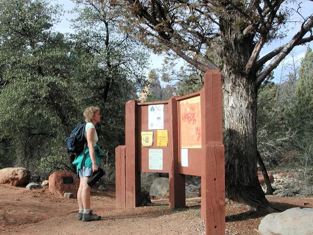 Secret Canyon trailhead |
The Secret Canyon trail climbed gently and provided nice views of the red rock countryside. Although the temperature was only in the low 60's, the climb was warm in the high desert sun. After 2-3 miles, we arrived at the junction with the David Miller trail and turned right.
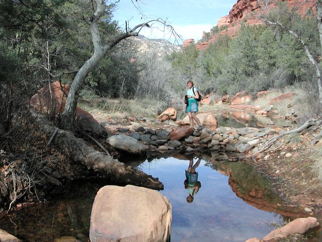 Stream crossing |
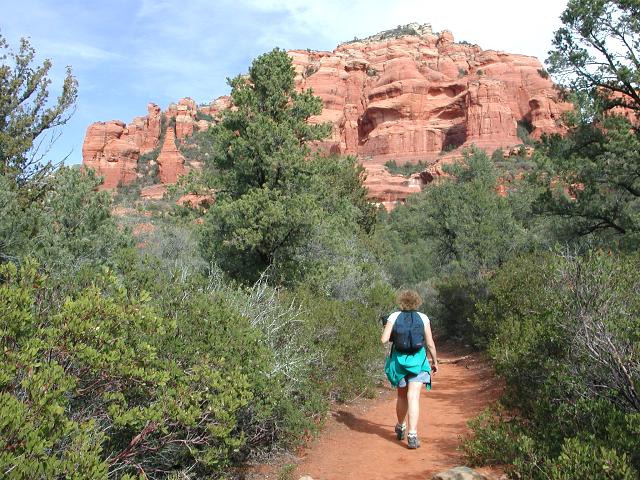 Red Rock views |
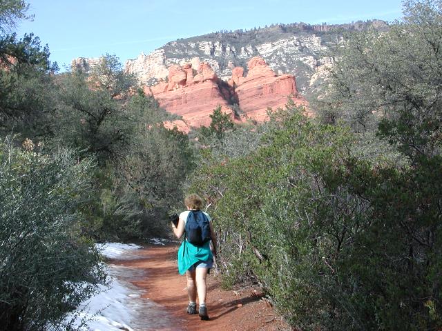 More views |
After 2Ẅ miles, we arrived at the junction with the David Miller trail and turned right. We were expecting only a short, easy stroll on this trail, but the sudden intensity of the grade surprised us.. Having gained only about 300 feet in the first 2Ẅ miles along the Secret Canyon trail, we expected more of the same. However, the trail suddenly began climbing with a purpose. It was only a mile to the saddle, so the climb was short, but we did gain 550 feet during that mile. After crossing the saddle that separates Secret and Bear Sign Canyons, we descended steeply to the junction with the Bear Sign Canyon trail.
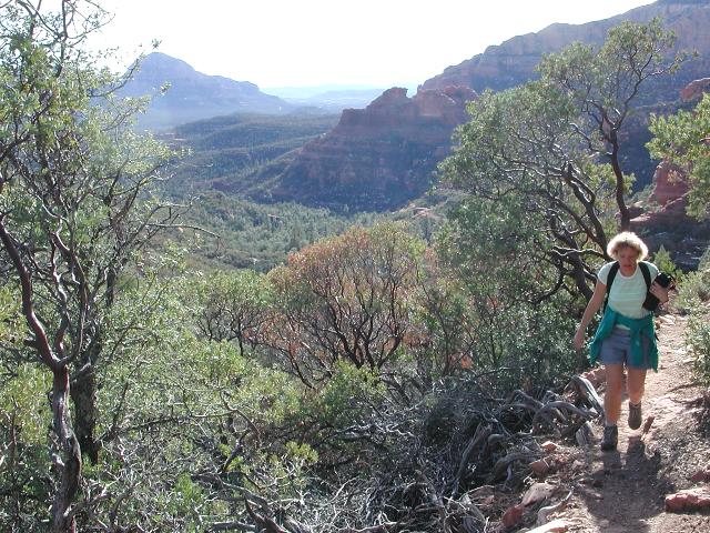 Climbing to the saddle |
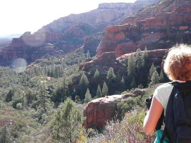 The view behind |
 Bear Sign Trail junction |
Bear Sign Canyon proved to be a surprise as well. Dark, secluded and cool, it seemed to us that it should have been more appropriately named Secret Canyon. We walked in shade along a snowy creekbed for several miles back toward the trailhead. After the warm sun of the climb to the saddle, the shady retreat of this cool forest trail was a real treat. Although it lacked the world famous red rock views, the Bear Sign Canyon trail was a real gem in its own right.
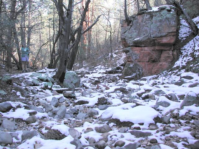 Snowy Bear Sign Canyon |
 Forest trail |
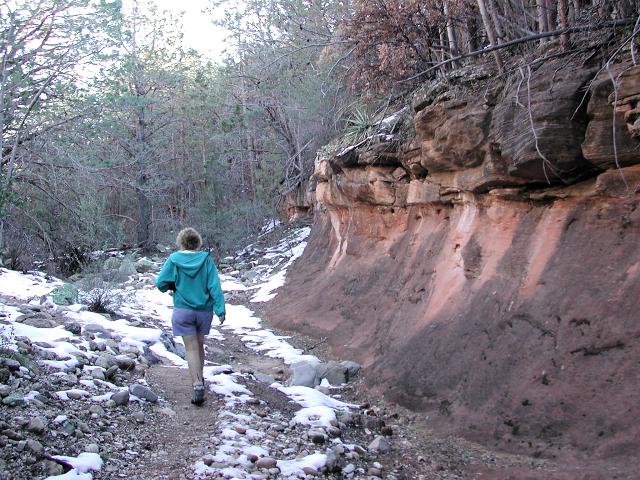 Strolling along the creek |
True to its name, we spotted a bear track along the trail in Bear Sign Canyon (although quite honestly we had seen one in Secret Canyon too). As we approached the end, we stopped for a break when we reached the junction with the Dry Creek trail. Looking around, the canyon with its sandstone cliffs looked not unlike a favorite state park (Turkey Run State Park) in Indiana. The entire Secret Canyon - Bear Sign Canyon loop was perhaps 7 miles long, including our 1 mile walk along Vultee Arch Road. It was not a killer hike in length, but it was quite a charmer nonetheless.
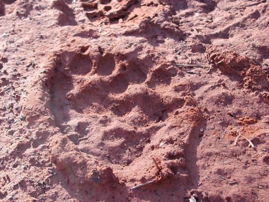 Bear track |
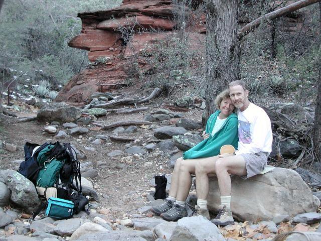 Dry Creek Trail junction |