 |
The Grand Loop, 2002 |
Click on any image to enlarge.
The Grand Loop is a favorite among Grand Canyon hikers. The usual itinerary is to descend into the Canyon on the beautiful South Kaibab trail, pay a visit to Phantom Ranch, then climb back to the South Rim on the Bright Angel trail. The Bright Angel trail has a more relaxed grade, climbs 400' less (4400' instead of 4800' on the Kaibab), and has occasional water and shade along the way. The Bright Angel trail is often the preferred trail in the summer, when inner Canyon temperatures frequently exceed 100 degrees.
The South Kaibab trail is renowned for its difficulty due to steep grades, greater elevation gain, and lack of shade and water, however, it is nearly 2 miles shorter, so we aren't so sure that it is any more difficult than the more popular Bright Angel trail. The South Kaibab is by far the prettier trail and has considerably less foot traffic. This loop allows the Canyon visitor to experience both of these commonly used trails.
The Grand Loop is 17 miles in length and descends from an elevation of 7200' at the South Kaibab trailhead to 2400' at the Colorado River, for a vertical drop of 4800'. The temperature at the bottom of the Canyon is typically 20 degrees warmer than the rim. Due to its length, the loop can be done as a long dayhike or by spending one or two nights at the Canyon bottom, either at Phantom Ranch or Bright Angel Campground.
We spent the night preceding the hike at Maswik Lodge in order to get an early start. After arising at 5:00am, we ate breakfast at the cafeteria and then rode the shuttle buses to the South Kaibab trailhead. At our starting time of 7:50am, the temperature at the rim was 40ºF with a brisk wind. Fairly typical for a March day in Northern Arizona.
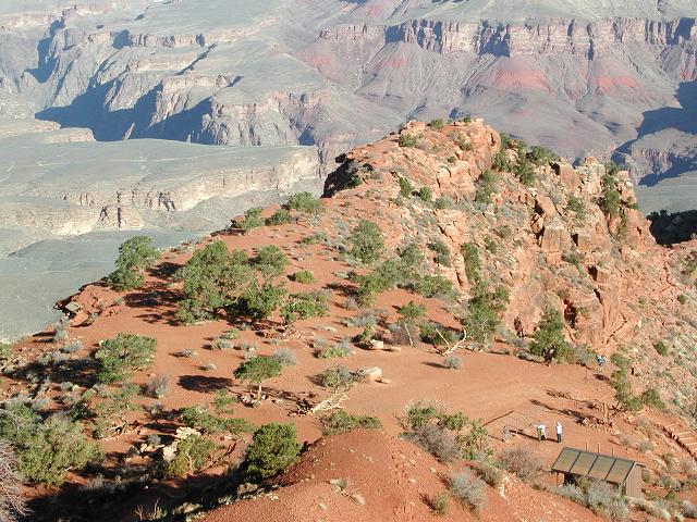
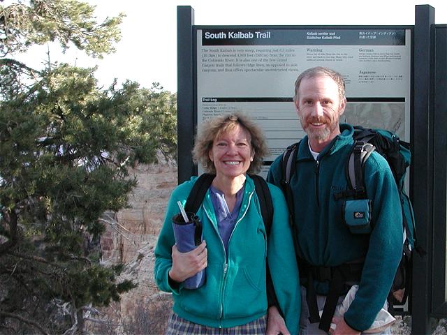 South Kaibab trailhead |
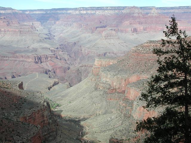
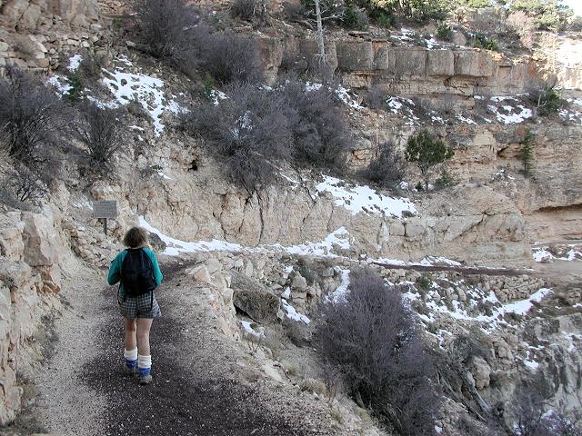 The upper South Kaibab |
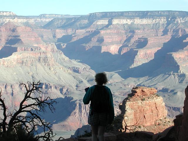 Great views |
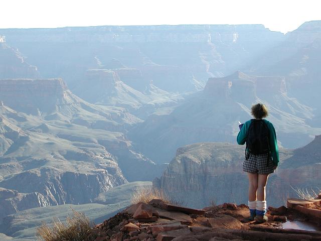 Cindy pauses to enjoy |
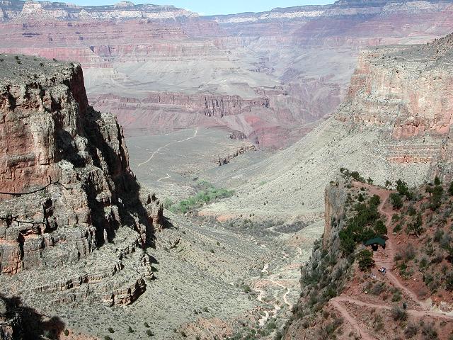
A steady descent soon brought us to Cedar Ridge and more outstanding views. Beyond Cedar Ridge, the trail winds beside O'Nielle Butte and out to the end of the ridge. At Skeleton Point, the South Kaibab drops down to the Tonto Platform on many switchbacks. A bathroom, one of two in 7 miles, marks the junction with the Tonto Trail.
 Cedar Ridge |
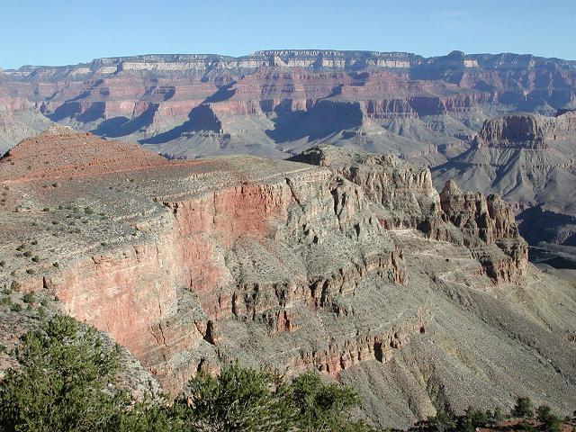 Skeleton Point lies ahead |
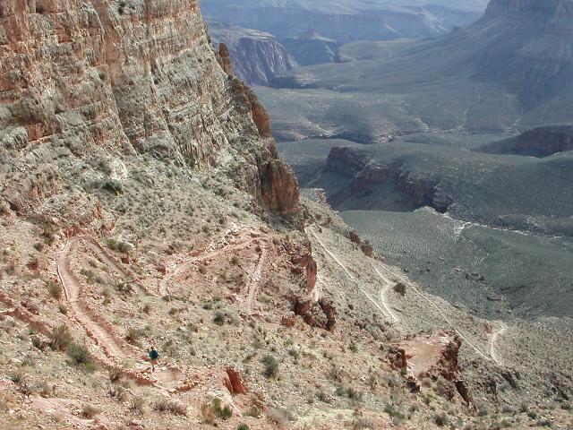 The Kaibab switchbacks |
 The Tipoff |
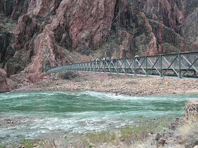
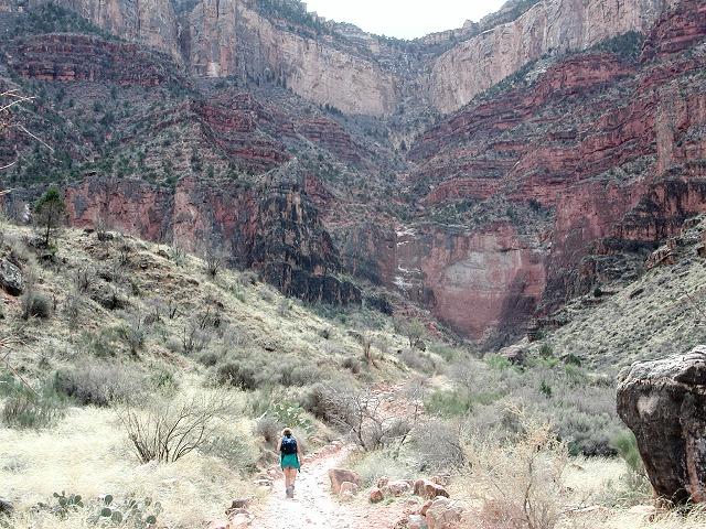
We continued descending on the South Kaibab and dropped into the inner Canyon at a point know as "The Tipoff", which lies just beyond the Tonto Trail junction. Soon we found ourselves at the bottom of the Canyon and crossing the Colorado River on the Black Bridge, which is only one of two bridges that span the river within the National Park. By this time, we had descended from our starting elevation of 7200' on the South Rim, down to the river elevation of 2400', a drop of almost a vertical mile. Sometimes the river is a pretty, clear greenish color, and sometimes it is muddy brown, mostly dependent on the water releases at upstream Glen Canyon dam. Today the river was green.
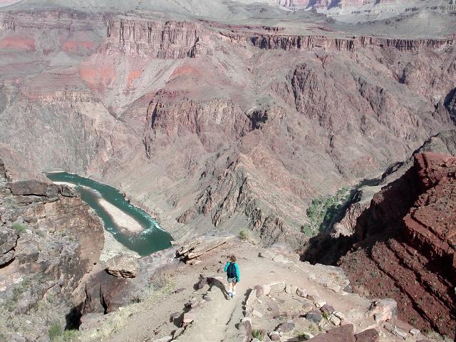 A view of the river |
 The Black Bridge |
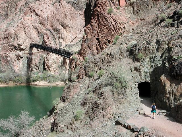 Tunnel leading to the bridge |
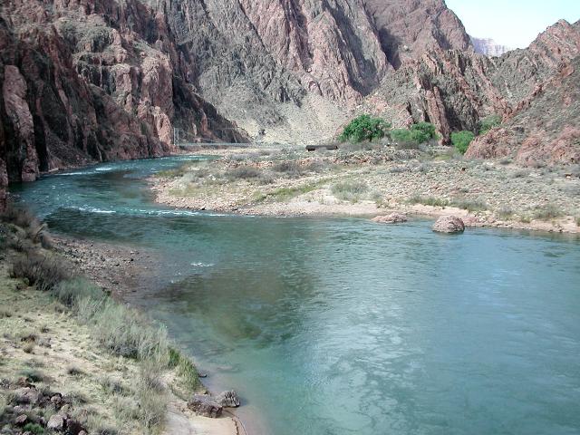 The Colorado River |
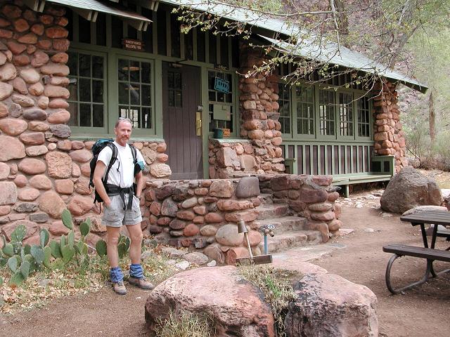
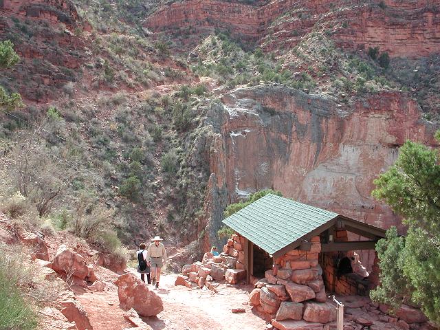
We strolled the remaining half mile to Phantom Ranch and entered the Canteen for refreshing lemonade, a snack, and a rest break.
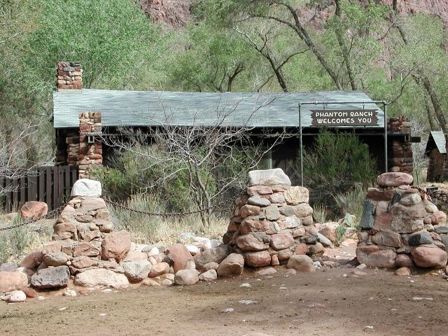 Phantom Ranch |
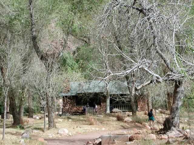 Oasis on the Canyon floor |
 The Canteen |
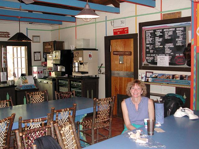 Inside the Canteen |
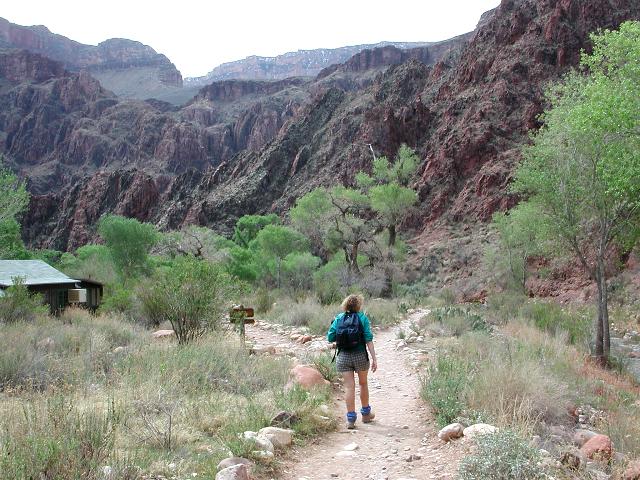
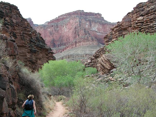
After a short break, we were on our way again, heading back toward the South Rim. We strolled by Bright Angel campground, turned onto the Bright Angel trail and crossed the river on the Silver Bridge, which is the other of the two bridges that span the river within Grand Canyon National Park. After paralleling the river for a mile, we turned up the Garden Creek drainage and began climbing toward Indian Gardens.
 Time to head back |
 Kaibab/Bright Angel junction |
 The Silver Bridge |
 The lower Bright Angel trail |
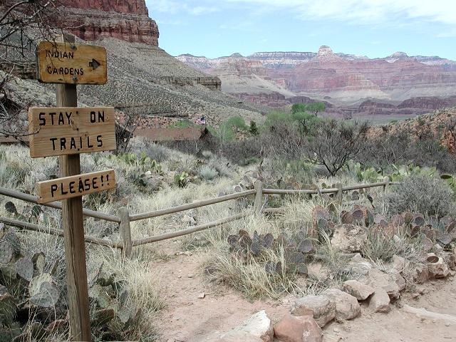
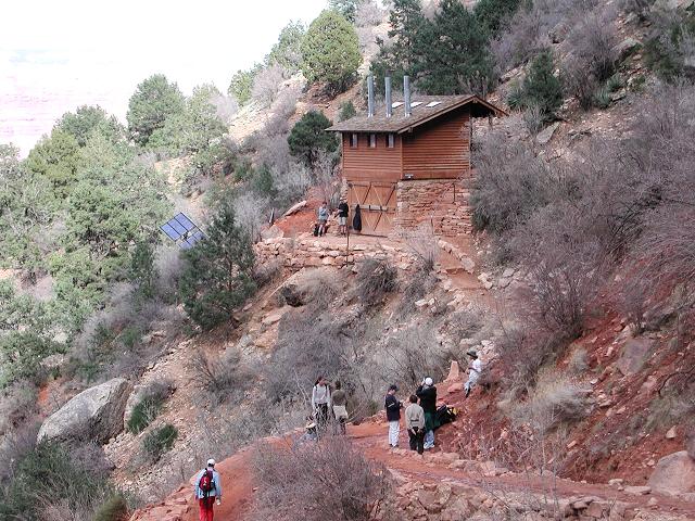
After another hour on the trail, we arrived at cool Indian Gardens and tanked up on water. As a popular destination for dayhikers, Indian Gardens is typically somewhat of a buzz of activity and today was no exception. We didn't stay long and were soon heading for the rim, which appeared deceptively close, but was still 4.5 trail miles and 3000' of elevation gain away. Within 45 minutes after leaving Indian Gardens, we arrived at 3 Mile Resthouse, which is one of two rest stops on the way out and a source of drinking water.
 Indian Gardens |
 Heading towards the Rim |
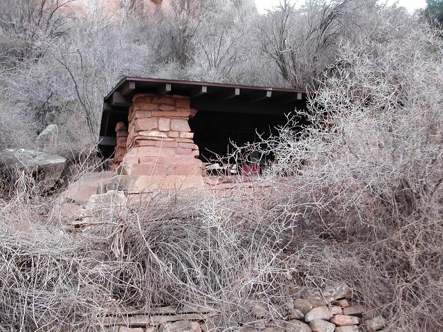
 3-Mile Resthouse |
 Bright Angel views |
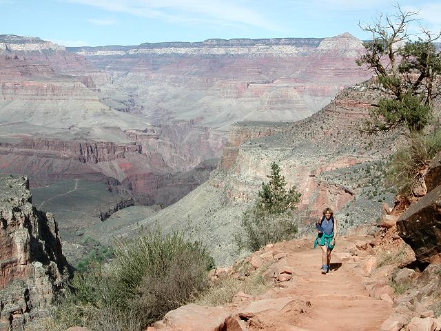
After a 15 minute rest, we continued on and in another 45 minutes came to 1-1/2 Mile Resthouse, which is the other rest stop on the Bright Angel trail. We took our last rest stop and pushed on toward the rim. As is typical of most Canyon hikers, we exited the Canyon with a feeling of exhilaration, satisfaction and accomplishment.
 Bathrooms |
 1-1/2 Mile Resthouse |
 Almost out! |
 The view from the Rim |
The Grand Loop is a classic at the Grand Canyon, and a hike that we will soon repeat. The entire 17 mile loop took us nearly 9 hours to complete and as usual, the experience was very fulfilling. Even though we had both been on these trails many times before, the Canyon always delights.